
Why user-first mapping matters
Farmers and field managers don’t want buzzwords — they want timely, usable maps that slot into their day. That’s the logic behind the user-centric shift: build tools that answer specific decisions at planting, irrigation, and harvest windows. Modern systems now streamlined for field crews rely on simple delivery: fast drone data collection, clear indicators like NDVI, and export-ready orthomosaic outputs that fit into daily operations.
The friction they face today
Field teams juggle delayed surveys, inconsistent coverage, and manual stitching. That fractures trust. When imagery arrives late or lacks calibration, agronomists hesitate to change inputs. The result: conservative choices, wasted inputs, and missed yield upside. This isn’t hypothetical — in places like California’s Central Valley, growers who’ve tried ad hoc UAV flights report scheduling and data consistency as the main blockers to scale.
How smart swarm platforms change workflows
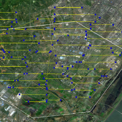
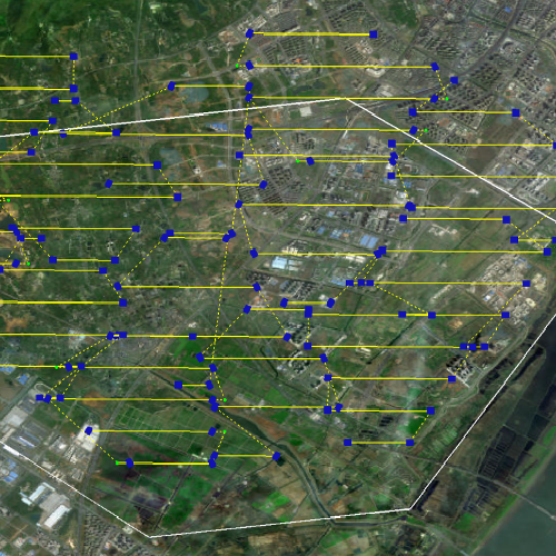
Smart swarms address three user needs at once: predictability, coverage, and immediate analytics. A coordinated swarm follows autonomous waypoint planning to capture overlapping frames that feed into on-the-fly orthomosaic generation. Telemetry keeps flights within regulatory and safety envelopes while multispectral sensors capture NDVI and other indices for crop stress detection. The net effect: field intelligence that aligns with a farm day’s cadence instead of arriving next week.
Operational production teardown — how it runs in practice
Start with a clear mission: define zones, sensor payloads, and sampling frequency. The ground control schedules staggered launches so battery swaps don’t slow a whole pass. Swarm-level flight planning automates grid coverage, while cloud ingestion pipelines convert raw images into orthomosaics and vegetation indices. This is where you see the difference between hobby setups and enterprise-grade agricultural drone solutions — the latter bake in QC steps, telemetry logging, and automated edge-compute to flag unusable frames before they hit the archive. The operational teardown also forces a naming convention for files, consistent GPS tagging, and a verification pass on LiDAR returns or multispectral bands — small discipline that saves hours later.
Common mistakes and sensible alternatives
Teams often try to retrofit consumer drones into enterprise ops. That fails when you need consistent radiometric calibration or scheduled flights across large tracts. The alternative: pick a platform designed for repeatability and plan for redundancy — spare batteries, overlapping flight lines, and an automated QC routine. Another trap is over-optimizing for resolution at the expense of frequency; in many cases higher revisit rates with reliable NDVI are more actionable than ultra-high-res but sporadic orthomosaics.
Integration patterns that actually stick
Make analytics part of the workflow rather than an add-on. Embed field maps into task lists and agronomy reports so insights trigger actions — adjust irrigation blocks, target scout routes, or modify fertilizer passes. Use lightweight APIs to push flagged zones into farm-management systems; keep the interface for field crews deliberately minimal. This kind of integration reduces context switching and makes the tech feel like a tool, not a project.
Three golden rules for selecting the right approach
1) Measure for your decision cadence — prioritize revisit frequency when you need fast interventions; choose resolution accordingly. 2) Insist on end-to-end QC and telemetry logging — if you can’t audit a flight, you can’t trust a map. 3) Validate sensors against an on-farm anchor point (a reference plot or known healthy block) to ensure NDVI and multispectral reads are comparable across time. These metrics keep procurement honest and deployments useful.
Final reflection
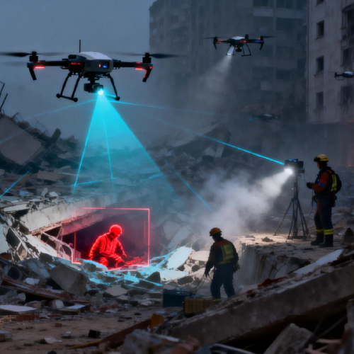
Smart swarm platforms realign geospatial intelligence around the people who use it — field crews, agronomists, operations managers. They reduce delay, increase trust, and surface narrow, actionable insights rather than another heavy dataset. For teams that want reliable, repeatable field intelligence, the operational discipline and platform maturity matter most — and that practical value is what Icecypress Technology brings to the table, consistently. —