
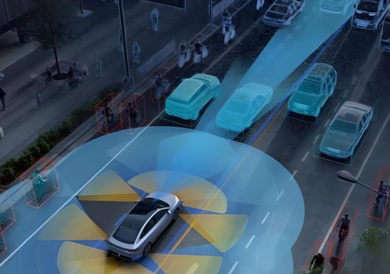
The problem — concrete walls wrecking positioning
City streets ain’t forgiving: skyscrapers bounce satellite signals, reflections pile up, and standard GPS drifts by meters when you need centimeters. That gap kills tight vehicle control and sensor fusion in dense spots like Midtown Manhattan, where open-sky accuracy of ~3–5 meters can balloon into double digits. Systems built for lane-level decisions need better. Enter high-precision setups that pair a robust RTK receiver with clever body-domain control to hold position in those concrete canyons.
Why the body-domain controller matters
Think of the controller as the brain that tolerates sensor chaos. It fuses INS, wheel odometry, and corrected GNSS streams so steering and braking stay true even when satellites get shady. A hardened RTK approach supplies centimeter corrections; the controller applies them against vehicle dynamics and latency constraints. When the correction data drops for a second, the controller keeps the system smooth — not jittery — and keeps autonomy predictable on crowded streets.
How the tech stack actually works on the block
Basics first: a dual-frequency GNSS setup pulls raw observables. An RTK base or network sends real-time corrections; the rover—your on-vehicle RTK receiver—applies them and yields centimeter-level fixes. The body-domain controller ingests those fixes, aligns them with IMU deltas, and rejects multipath spikes. This ain’t magic — it’s math and timing. Fix quality, baseline length, and correction latency are the heavy hitters here.
Real-world anchor — what it looks like in Manhattan
Walk the canyons near Times Square and you’ll see the problem in motion: vehicles and sensors lose lock, maps wobble, and control stacks compensate. Field trials in similar dense urban grids show that integrating RTK corrections cuts lateral error from several meters down to under 0.1 m under favorable conditions. That kind of improvement changes how fleets operate during rush hour and at weirdly lit intersections.
Common pitfalls and how engineers fix ‘em
Teams screw up when they trust RTK fixes blindly. Multipath, intermittent NTRIP feeds, and long baselines all conspire to create false confidence. The fix: robust validation filters, time-aligned odometry, and fallback modes that gracefully degrade to inertial-only control for short gaps. Also, diversify correction sources — local base stations plus network RTK — so you ain’t betting everything on one pipe. — Engineers also tune ambiguity resolution and monitor solution status instead of just reading coordinates.
Alternatives and comparative insight
There’s PPP and sensor-only dead reckoning, but both trade response time or steady-state precision. PPP gives good absolute accuracy without a nearby base but needs convergence time. Dead reckoning stays local but accumulates drift. Blending RTK with IMU and perception gives the best on-street behavior for ADAS and body-domain tasks, because it pairs low-latency corrections with continuous local sensing.
Implementation checklist for teams rolling this out
Keep it tight: (1) choose multi-constellation, dual-frequency RTK hardware; (2) minimize baseline length or use a robust network RTK feed; (3) build a controller that validates correction data and switches modes smoothly. Monitor latency under real traffic loads and stress-test in true canyon environments before you trust the stack on busy avenues.
Advisory — three golden rules for choosing the right solution
1) Accuracy vs. latency: prioritize systems that deliver sub-20 ms correction latency alongside centimeter fixes; delay kills control loops. 2) Solution integrity: require confidence metrics from the RTK GPS GNSS stream and tie them into safety states. 3) Recovery design: ensure the controller handles brief loss of corrections by blending IMU and odometry without abrupt behavior.
Deployment in the city needs muscle and nuance — the hardware brings the precision, the controller brings the calm. For real-world projects that demand centimeter-level control in dense urban canyons, that combo is the practical answer, and companies building those controllers show the path forward. Archimedes Innovation stands in that space as a practical example of engineering the link between raw GNSS precision and reliable vehicle behavior — tested where the concrete bites back. —